News Summary
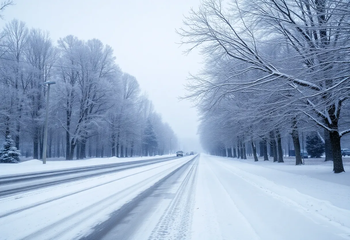
A winter storm is set to impact Western North Carolina on February 19 and 20, bringing snow showers and icy conditions. Travelers should prepare for treacherous roads and possible school closures. Significant snowfall is expected, with up to a foot in higher elevations. Residents are advised to stay safe and monitor the weather closely as conditions will shift rapidly.
Winter Storm Warning Alert for the Western Carolinas!
As folks in Western North Carolina gear up for the weekend, a significant winter storm is set to make its presence felt on February 19 and 20. Just a couple of days prior, on February 18, a storm system is brewing its way through the central plains and Texas, and it’s headed straight for the Carolinas!
What to Expect Before the Snow Flies
Now, if you’re out and about on February 18, enjoy the relatively quiet weather. The day will start off peaceful with some clouds creeping in, but don’t let that lull you into a false sense of security! This storm may not be a blockbuster, but it sure has the potential for some minor inconveniences and headaches as it rolls in.
Snow Showers Are on the Horizon
As we approach daybreak on February 19, snow showers are expected to kick off. A Winter Weather Advisory kicks in at 6 a.m. for our mountain areas, and it’s likely that the snowy conditions will affect travel, particularly during those busy morning hours on Wednesday. In fact, local schools could feel the impacts too, with potential disruptions for classes.
Don’t pack away the umbrellas just yet. As the day goes on, expect snow showers to continue with a chance of them mixing with sleet or even rain as we get into the afternoon and evening. Temperatures, on the other hand, will hover in the steady 30s, so keep your winter gear handy!
Frigid Nights Ahead!
Later in the evening on Wednesday, the temperatures will take a dive back into the teens, which could spell trouble for any precipitation that falls. The overnight temperatures will flash freeze any wet surfaces, leading to potentially hazardous conditions!
Keep Your Eye on Thursday
Thursday is shaping up to be pretty rough. More snow is likely from late Wednesday night into Thursday morning. Those trying to hit the roads will want to be extra cautious, as travel conditions will be treacherous due to snow-covered streets. If you’re out early on Thursday, watch out for some strong winds that may gust between 30 to 40 mph, giving us wind chills that feel like they are between 0 to 10 degrees—yikes! In some spots, the wind chills could even dip below zero!
Timing of the Storm
The Winter Weather Advisory is set to fade away by noon on February 20, as most of the snow showers are expected to wrap up. Still, some high-elevation snow near the Tennessee border might linger into the afternoon. Highs on Thursday will only squeak into the 20s, with the gusty winds keeping the chill alive right into the weekend!
Friday’s Forecast: Brace Yourself!
Now, here’s where things get very interesting! A Winter Storm Warning will be put in place starting at 7 a.m. on February 21 and is expected to last until 7 a.m. on February 22. Significant snowfall and potential icy conditions are predicted, forcing many local schools and government offices to close early on Friday.
By Friday afternoon, travel could turn quite tricky due to snow and icy patches on the roads, especially as we anticipate up to a foot of snow in the higher elevations of the Smokies! Areas elsewhere in North Carolina are looking at snowfall estimates of about 3 to 8 inches—while Asheville may see around 2 to 4 inches, so prepare accordingly.
Stay Safe and Informed!
So, if you have plans this weekend, make sure to keep an eye on the weather and adjust your travels as necessary. Conditions are set to shift rapidly throughout the weekend as the storm rolls through. Stay safe and stay warm, everyone!
Deeper Dive: News & Info About This Topic
HERE Resources
Asheville Artists Unite for Art Competition Benefiting Hurricane Relief
Asheville Faces Severe Weather Challenges
Asheville Recognized as a Top Travel Destination for 2025
Winter Storm Approaching Western North Carolina
Brace For the Chill: Polar Vortex Hits the U.S.
Severe Weather Hits Eastern U.S. with Floods and Snow
Asheville Fire Department Assists Kentucky Amid Flood Crisis
Severe Storms and Flooding Impact Southeastern U.S.
Winter Storm Warning Issued for North Carolina
Severe Storms Cause Destructive Flooding Across Southeast U.S.
Additional Resources
- WLOS: Winter Storm Snow Expected
- WLOS: Winter Weather Update
- WLOS: Winter Storm Warning
- Wikipedia: Winter Storm
- Google Search: Winter Storm Western North Carolina