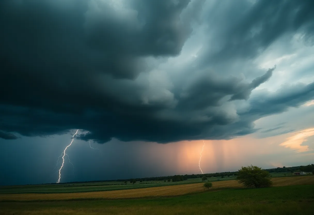

A storm system looms over the landscape, warning of severe weather to come.
A powerful storm system is set to impact the Central and Eastern United States, bringing severe weather including tornadoes and damaging winds. Starting Monday night and continuing into Wednesday, the storm will particularly affect the Southern Plains and spread to the East Coast. Key locations at risk include Oklahoma City, Jackson, and Charleston. Residents are urged to prepare for possible flash flooding and strong winds as nearly 170 million people are under threat from this severe weather outbreak.
Get ready, folks! A powerful storm system is gearing up to sweep across the Central and Eastern United States, starting Monday night and continuing into Wednesday. Buckle up because this threat first aims its sights on the southern states before making its way to the East Coast.
As we kick off this weather event, severe storms are on the agenda, which means tornadoes, damaging winds, and hail could soon be knocking at your door. The initial round of severe weather is expected to develop overnight from Monday into early Tuesday, affecting regions of the Southern Plains. So, if you’re anywhere from central Oklahoma to north-central Texas, including cities like Oklahoma City and northwest Dallas-Fort Worth, you’ll want to stay alert.
According to the Storm Prediction Center, the severe thunderstorms are likely to impact a broad swath of the country. Environments stretching from eastern Texas and eastern Oklahoma down through the lower Mississippi Valley, including parts of Alabama and western Georgia, are on the radar for severe thunderstorm activity on Tuesday and Tuesday night. Notable cities under the threat include Jackson, Mississippi, Little Rock, Arkansas, and Shreveport, Louisiana.
On Tuesday, thunderstorms are expected to evolve through the day, especially with ongoing severe conditions in the morning across eastern Texas and eastern Oklahoma. The threat of widespread damaging winds, paired with a heightened risk of tornadoes, remains at the forefront for southern Arkansas, northern Louisiana, and central and southern Mississippi, reaching as far as southwest Alabama and the far western Florida Panhandle.
As the storm system progresses into Wednesday, brace yourself because it will be reaching parts of the Eastern U.S. This includes areas from Delaware and Maryland down to northern Florida, affecting cities like Charleston, South Carolina, Raleigh, North Carolina, and even Washington, D.C..
In addition to the wind and tornado threats, areas could see locally heavy rain, especially in the Midwest and South, where there’s a risk of flash flooding. Some regions might pick up over 2 inches of rain in a short time, but thankfully, this storm is expected to move quicker than the deluges some have experienced recently.
If you reside in areas expected to be impacted, now is the time to prepare! Make sure you have multiple ways to receive the latest alerts from the National Weather Service. Familiarize yourself with safe shelter locations to ensure you’re ready should severe weather strike.
It’s worth mentioning that this severe weather outbreak threatens to impact close to 170 million people across nearly two dozen states! Be mindful of wind gusts that could reach between 50-70 mph, particularly in regions that are dry, raising concerns over potential wildfires from Texas to Oklahoma.
On Tuesday, there’s a significant threat level for an EF2 or greater tornado in parts of the southeastern U.S., adding to those nighttime tornado worries in central regions. If you’re planning any travel, be prepared as major airport hubs along the Mississippi Valley through the Atlantic coast are likely to experience flight delays due to thunderstorms or strong winds.
In Louisiana, the authorities have taken precautionary measures, cancelling Mardi Gras parades due to the severe weather risks, including high winds. So, stay safe, stay informed, and keep an eye on the weather as it unfolds!
News Summary In North Carolina, Maximus and Guidant Global have been awarded the 2024 Partners…
News Summary Asheville Regional Airport is set for a remarkable transformation with a $400 million…
News Summary Join the second Annual Grove Arcade in Bloom event on April 26, 2025,…
News Summary The Flat Iron Hotel in Asheville, North Carolina, has been awarded a spot…
News Summary The Asheville Bread Festival returns on April 26-27, 2025, promising a weekend of…
News Summary Asheville is grappling with a healthcare crisis as severe storms prompt Mission Health…